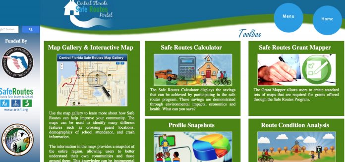
The East Central Florida Regional Planning Council (ECFRPC) has unveiled the newest addition to the Route Condition Tool, a master Geographic Information Systems (GIS) transportation database that aims to improve walkability and safety by providing urban planners and engineers with a comprehensive and never-before-seen view of their transportation systems. The council has worked with county officials to expand the tool to Osceola County for a December 2016 release.
Utilizing the Florida Highway Administration’s PEDSAFE criteria, roadways are evaluated based on more 20 attributes such as speed limits, feature widths, annual average daily traffic, number of through lanes and turn lanes, sidewalk coverage, median types and more.
The tool also assesses all roadway segments based on their proximity to schools, transit, recreation, businesses and residences to gauge the potential importance that each roadway segment currently – or could – have for bicyclists and pedestrians.
Utilizing the PEDSAFE criteria in unison with the proximity variables, the tool identifies roadways that are underperforming in potentially walkable areas that could foster a more livable and walkable environment with additional transportation funding and regional prioritization.
“The Route Condition Tool brings a new element to assess roadway facility conditions and their impacts on bike/ped safety,” Tara McCue, EFRPC’s director of planning and community development, said in a statement. “It provides the opportunity to engage cross-sector discussions of implementing real solutions to create safe and healthy communities across the region.”
PJ Smith, senior GIS analyst and urban designer, says “this tool will leverage the efforts of urban planners and engineers to find creative solutions for our region’s most complex transportation and development problems. We can now see connections that we simply could not before.”
EFRPC says in the news release that it is working to secure funding to expand the tool to all seven counties in its planning district and to update the previous version implemented in Lake and Volusia counties. The tool has recently been used to identify Hazardous Walking Conditions pursuant to Gabby’s Law in Lake County and uses advanced statistics to prognosticate the locations of future bicycle and pedestrian-involved accidents.
Primary uses of the tool
- Provides a map-based asset management system for daily use by planners and engineers
- Improve safety and connectivity by identifying roads that can be converted into ‘complete streets’
- Identify roads with higher probabilities for bicycle and pedestrian crashes using crash location data
- Identify current and future Hazardous Walking Conditions to assist in school planning and siting


